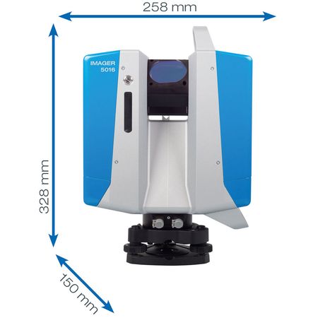
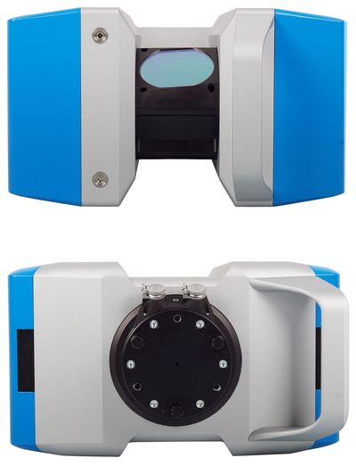
The terrestrial 3D laser scanner Z+F IMAGER® 5016 combines compact and lightweight design with state-of-the-art 3D laser scanning surveyor technology - allowing the user to reach new levels. It's equipped with an integrated HDR camera, internal lighting and positioning system. All components of the terrestrial 3D laser scanner have been further developed and adjusted to the new design, resulting in even better scanning results and a more efficient workflow.


Due to innovative developments, the maximum range of the new terrestrial 3D laser scanner Z+F IMAGER® 5016 has been extended to up to 360 m (1,180 ft) - thus establishing new opportunities and applications. The maximum measurement rate of more than 1 Mio. points/sec. guarantees highly accurate results even with long distances.
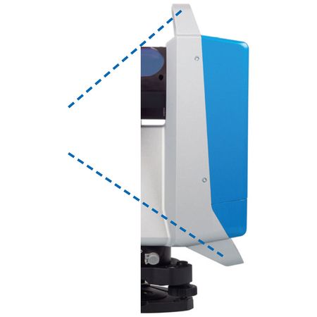
Its 360° x 320° field-of-view assures great coverage of the scanned area, reducing the number of scan positions necessary to a minimum.
The scanner is classified as „eye-safe“ according to laser class 1 and can therefore be used in public areas without any restrictions.
The terrestrial laser scanner Z+F IMAGER® 5016 is equipped with an integrated positioning system, which allows the automatic registration in the field, with or without targets. All preprocessing tasks can be taken care on the fly, increasing efficiency. Please read the ”real-time registration” section of this brochure for more information. In addition, the scanner comes with an integrated HDR camera, which allows the user to quickly capture colour information - even in challenging lighting conditions.

Recording color information is indispensable for many applications. The image acquisition (80MPixel) takes only 2 minutes with the Z + F IMAGER® 5016.
The new HDR camera of the Z + F IMAGER® 5016 is equipped with LED spots which provides additional flexibility. No external light sources are required to take the pictures in a dark environment.
The scanner has internal storage capacities of 128 GB. Data can be transferred quickly via the SD card slot, Ethernet connection or WiFi. The WiFi works according to the 802.11a / n / g standard and frequency range 2.4GHz / 5 GHz.
blue workflow®
Real-time registration on-site
Data and target verification
Multi-scanner support
Laser system
Laser class: 1
Beam diameter / divergence: ~ 3.5 mm @ 1m / ~ 0.3 mrad (1/e2, half angle)
Measurement range: 0.3 m ... 365 m (ambiguity interval)
Range resolution: 0.1 mm
Data acquisition rate: Max. 1.1 million pixel/sec.
Linearity error: ≤ 1 mm + 10 ppm/m
Range noise: 0,25 mm rms
HDR camera
Type: HDR, automatic, up to 11 exposures
Recording time: approx. 2 min, parallax free
Focus area: 1m - ∞
Panorama resolution: ca. 80 MPixel
Illumination system: integrated LED spotlights, 700 lm
Deflection unit
Deflection system: completely encapsulated rotating mirror with integrated HDR camera and LED spots
Vertical field of view: 320°
Horizontal field of view: 360°
Angular resolution, vertical: 0.00026° (0.93 arcsec)
Angular resolution, horizontal: 0.00018° (0.65 arcsec)
Vertical accuracy: 0.004° (14.4 arcsec) rms
Horizontal accuracy: 0.004° (14.4 arcsec) rms
Rotation speed: max. 55 rps (3,280 rpm)